Merseytram Line 2
| We continue our travel on Line 2 heading east along the north side of Picton Road passing through the site of the Botanic Pub (immediately behind me here) and reaching the entrance to Botanic Park. | 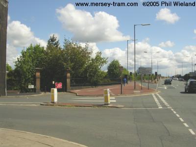 |
| The plans show part of the interior of the park used for the tram tracks, but this is now in doubt due to Liverpool City Council's recent resolution not to sell any part of the park to Merseytravel.
At this point the route splits into two options: | 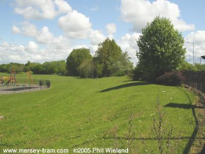 |
| Option A has the tracks turning north around the edge of the park and running on to this large area of land where the foundations of the former Edge Lane Tram Sheds were recently cleared.
There will be a stop somewhere in the middle here, called Liverpool Science Park.
Apart from the tram route, this area is intended to be redeveloped by the North West Development Agency with a through road and a number of industrial and office buildings forming part of the Liverpool Digital project. | 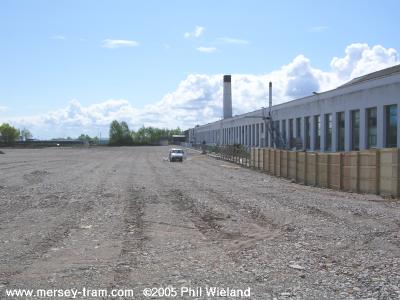
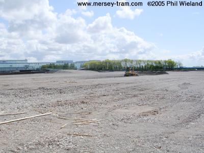 |
| The tracks will join Edge Lane about here, at the junction with Laurel Road, and then run along the south side of the carriageway. |  |
| We pass the junction for the former Marconi site, now also part of Liverpool Digital. The route then continues along the south side of the carriageway, requiring the demolition of another pub - The Dryden. | 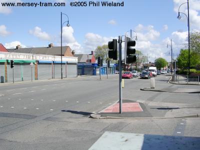 |
| A stop will be located about here, just before we pass over the Edge Hill to Bootle freight railway. This stop is to be called Meccano, a reference to the famous, but long demolished, factory on nearby Binns Road. | 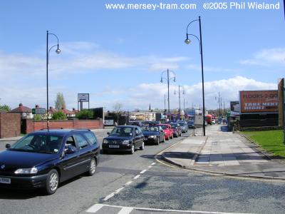 |
| The route continues along Edge Lane. | 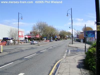 |
| Another stop, to be called Edge Lane Central, will be about here, just before the large road junction where option A turns left on to St Oswald's Street. | 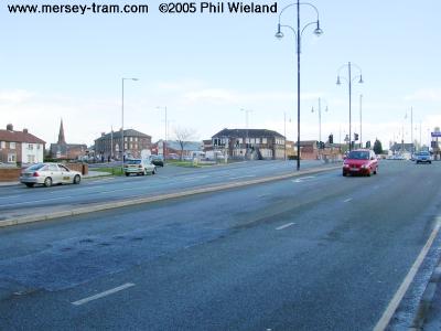 |
| Our journey continues along St Oswald's Street below, but first, jumping back to Botanic Park, we follow option B instead, along Wavertree Avenue into Wavertree Technology Park. | 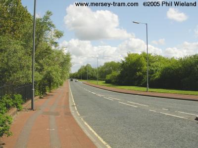 |
| The cars take a sharp left onto Wavertree Boulevard but the trams will continue straight on, through this ready-made corridor along the south edge of the Technology Park. The Liverpool - Huyton - Manchester railway line is parallel to our route just behind the trees on the right. | 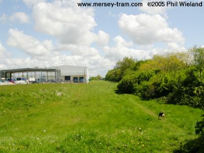 |
| Option B joins another part of Wavertree Avenue here. | 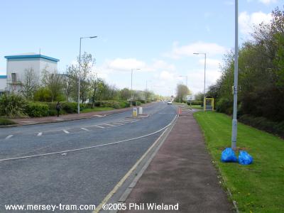 |
| The next stop will be here at Wavertree Technology Park station, providing interchange with services on Merseyrail's City Line from Liverpool to Wigan, Manchester Victoria and Warrington Bank Quay. | 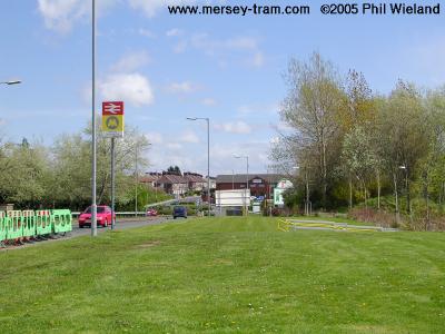 |
| At the end of the Tech. Park the tracks cross this roundabout turning left (Northeast) onto Rathbone Road. | 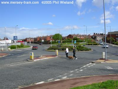 |
| There will be a stop somwhere on Rathbone Road, after which option B will cross Edge Lane on to Saint Oswald's Street, meeting option A. | 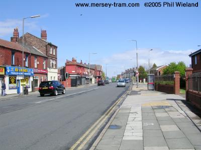 |
| Line 2 then heads north up St Oswald's Street to a stop just before the Old Swan junction in Tesco's car park. | 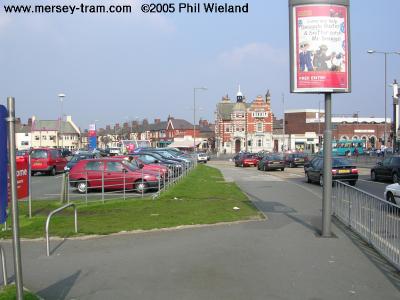 |
| Next, it's a right turn at the extremely busy Old Swan traffic lights, where five roads meet. A recipe for traffic chaos I fear. | 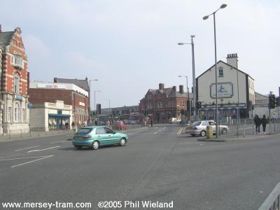
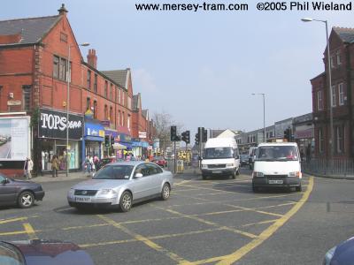 |
| Prescot Road is narrow and busy as we pass the Old Swan shops. At the far end of the shops will be a stop called Black Horse Lane, near the Black Horse pub. | 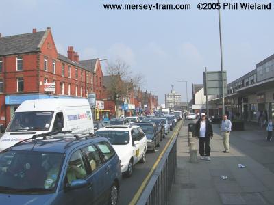 |
| As the line approaches another busy set of traffic lights at the junction with Queen's Drive, there is a convenient wide central reservation which is currently used as a car park. | 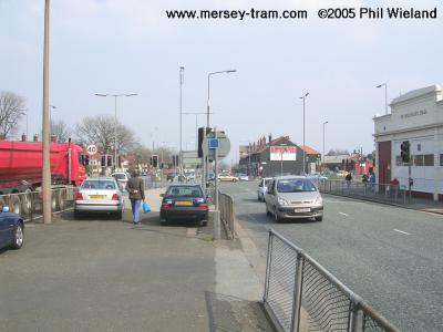 |
| Beyond Queen's Drive there's plenty of space for tram tracks along East Prescot Road. | 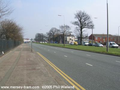 |
| As the line approaches Knotty Ash, the two carriageways divide. The tram tracks will run along the right hand side of the nearer carriageway in this picture.
There is a proposal, I believe, to put a new entrance to Alder Hey Children's Hospital on the left here, in place of the current entrance round the corner on Eaton Road. | 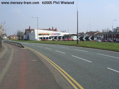 |
| The carriageways meet again at the junction with Eaton Road. Beyond the junction is a parade of shops. The wide central reservation continues. I'm not sure where the Knotty Ash stop will be located. | 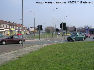 |
| Next, the line reaches the Greyhound roundabout. | 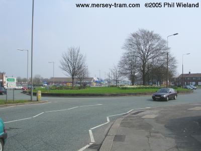 |
| The wide open spaces of East Prescot Road provide lots of space for tram tracks. There will be stops at Dovecot and Dinas Lane. | 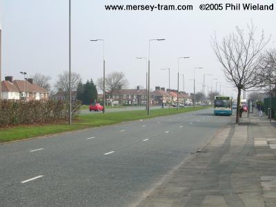 |
| The Page Moss stop will be somewhere near the junction of Princess Drive, former location of the infamous Eagle and Child pub. | 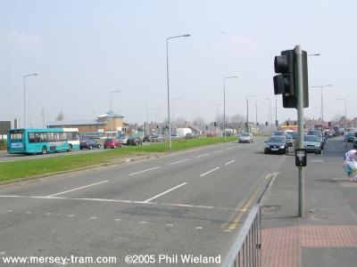 |
| The Oak Tree pub (Just visible on the right edge of this shot.) lies at the junction with Twig Lane and Kingsway. The Woolfall Heath stop will be somewhere here. | 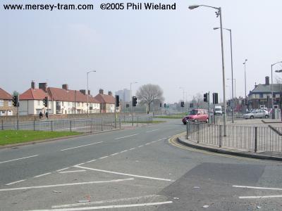 |
| The wide central reservation continues as we pass the Seth Powell Way junction. | 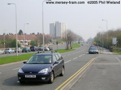 |
| The derelict Bluebell pub stands at the junction with Bluebell Lane. | 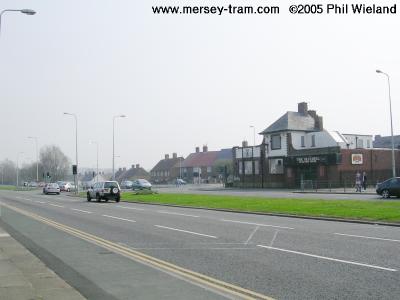 |
| The Longview stop will be somewhere near the junction with Longview Lane, shown here. | 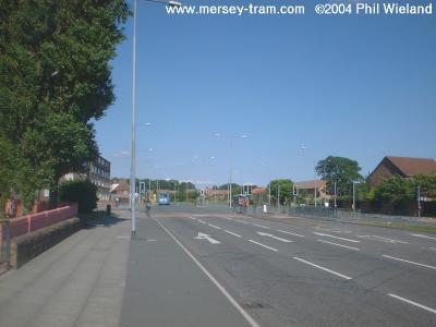 |
| The description of Line 2 continues with Line 2 from Longview to Whiston Hospital | |
|
mersey-tram.com
The Unofficial Merseytram Site |
| Home Page |
|
NEWS
Latest
Archive Editorials |
|
DEVELOPMENT
Schedule Bid process Works |
|
THE ROUTES
Summary Details & pictures |
|
THE TRAMS
Description |
|
SUGGESTED
Links Books |
| ©2019 Phil Wieland
Host: arnos |