Merseytram Line 1
| Let's take a ride on Line 1, starting from the City Centre Loop... | |
| Leaving the City Centre loop at the junction of Lime Street and London Road we climb up the left hand side of London Road, pausing at a stop here outside T.J.Hughes. | 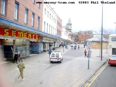 |
| After T.J.'s, the tracks run on the right hand side of London Road up to the junction with Daulby Street, where we pull off the right hand side of the road to Royal Liverpool Hospital stop, located just beyond the trees in the middle of this picture. | 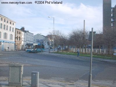
|
| Next we turn left across the road and on to Moira Street. Sadly the Old Fort public house on the corner will have to be demolished. | 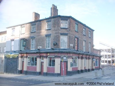
|
| Moira Street is currently a cul-de-sac with a construction site at the end. When building work is completed there will be a clear route through to Erskine Street. | 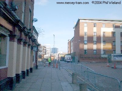
|
| We run straight across Eskine Street and then turn right onto Brunswick Road where we head up on the left hand side of the carriageway towards the junction with Low Hill and Everton Road. | 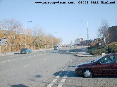 |
| The tracks will pass through the Everton Road junction slightly to the left of the current carriageway. The remodelling of the road junction will, I think, require the demolition of the (still open despite appearances) Gregson's Well pub. | 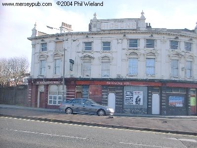
|
| Remaining clear of the carriageway our route will cut across the bottom end of Grant Gardens to a stop located beside West Derby Road on this waste ground. | 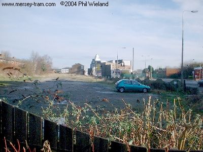
|
| Some demolition will be required as the tracks continue to run parallel to West Derby Road. Properties to be demolished will be a furniture shop, a petrol station and the Olympia Pub shown here. I believe a chippy has recently been knocked down somewhere along here already. | 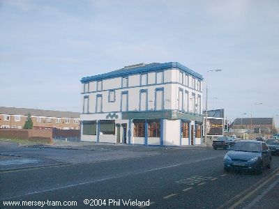
|
| On the other side of West Derby Road is the Olympia Ballroom and the famous Grafton Rooms. | 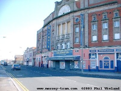 |
| West Derby Road widens out, with a large central reservation. The trams will cross over to the right hand carriageway here, with cars restricted to the left hand one, I think. | 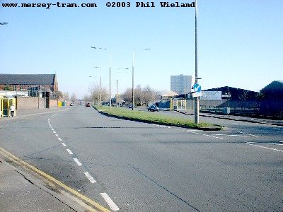 |
| After the Boundary Lane stop outside St Michael's School we continue to the junction with Belmont Road, remaining on the right hand side and soon reaching the Sheil Road stop about 100 metres beyond the junction. | 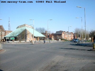 |
| Rocky Lane is a wide dual carriageway with the two sides on different levels. The trams will take over the higher side, with other traffic on the lower side. | 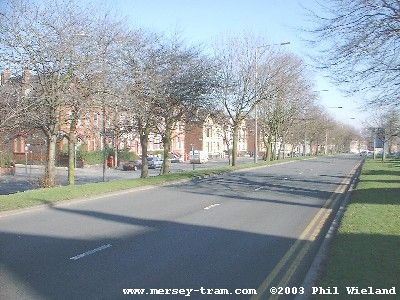 |
| Residential property gives way to shops further along, as we enter Tuebrook. | 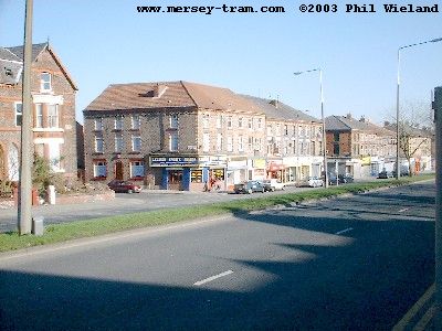 |
| We pass the Newsham Park pub at the junction of Lower Breck Road. Shortly after this junction the road will divide into two carriageways again, with the tram lines in a central reservation. | 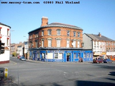 |
| This bridge over West Derby Road carries the railway now used only for freight trains to the docks at Bootle and Seaforth. We are right in the middle of a busy shopping area and to the right is Tuebrook Market. The tracks will be in the middle of the road here, one each side of the bridge's central pillar. | 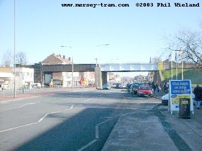 |
| The other side of the bridge the shops continue. The Tuebrook stop will be about here, at the junction with Buckingham Road. | 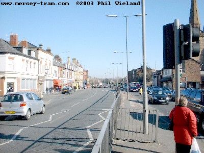 |
| The description of Line 1 continues with Line One from Tuebrook to East Lancs. Road | |
|
mersey-tram.com
The Unofficial Merseytram Site |
| Home Page |
|
NEWS
Latest
Archive Editorials |
|
DEVELOPMENT
Schedule Bid process Works |
|
THE ROUTES
Summary Details & pictures |
|
THE TRAMS
Description |
|
SUGGESTED
Links Books |
| ©2019 Phil Wieland
Host: arnos |