Merseytram City Centre Loop
| Let's take a ride round the City Centre Loop... | |
| From the triangular junction at the bottom of London Road we head along Lime Street, keeping to the right hand side of the carriageway. There'll be a stop here for the railway station. | 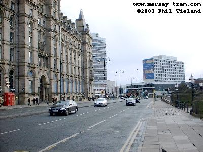 |
| Right at the lights and down Saint John's Lane, and another stop, called Queen Square, will be located where I was standing when I took this picture. | 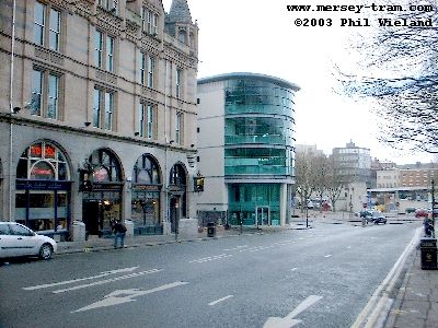 |
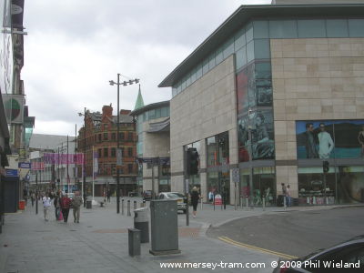
| At the bottom of Saint John's Lane we find a triangular junction in the tracks. We turn left to run along Old Haymarket (shown here) and then Whitechapel. (The other lines, turning off to the right, run across the tunnel mouth and connect to the other side of the city centre loop at the foot of William Brown Street.) | 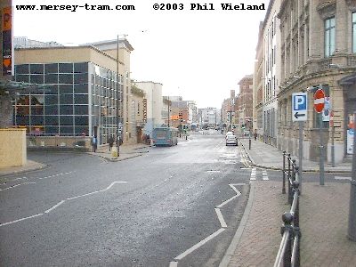 |
| The Whitechapel stop will be located here, by the new shopping centre on the old Post Office site, seen under construction in 2004 and complete in 2008. | 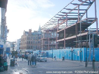
 |
| We carry on into Paradise Street to a stop here outside the Moat House Hotel. I understand this road is to be pedestrianised as part of the redevlopment of this area. | 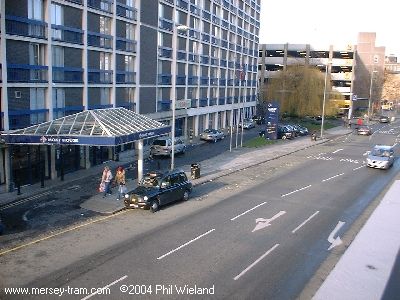 |
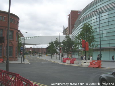
| At the junction with Hanover Street we enter these views from the right and turn right just before the junction onto what was waste land occupied by hoardings in 2004. In 2008 the Liverpool 1 development has occupied the corner, but with room for the tracks to run round the outside of the new building. Our route then heads towards Albert Dock running parallel to, but clear of, Canning Place. | 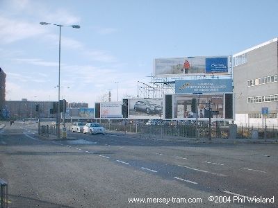
 |
| When we reach this junction with Wapping we find another triangular junction. To the right is the other side of the city centre loop which we will cover later, but for now we turn left. | 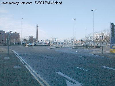 |
| We run along the river side of the road towards this wall, which was re-erected here in 1980 using the stones from the Salthouse Dock warehouses. (Note the Superlambbanana beyond.) Just before we reach the wall the route turns right and crosses the corner of Salthouse Dock. | 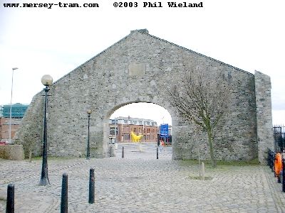 |
| There will be a tram stop where the Ducks currently pick up tourists. | 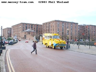 |
| Left and over a bridge into the King's Dock area. The new bridge will be a little west (or river-wards or to the right if you prefer) of this pedestrian bridge. | 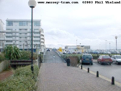 |
| The terminus, with four platforms, will be roughly in the centre of this picture. The area is currently a wasteland used for car parking but hopefully it will have been redeveloped by the time the trams arrive. It is looking increasingly unlikely that Everton's new stadium will be here. | 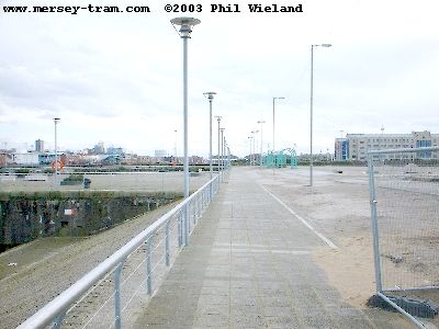 |
| Having reversed at the King's Dock terminus we retrace our route as far as Wapping, but instead of turning right into Canning Place we continue straight on at the junction. This part of the route is expected to be built in the second phase of construction, after 2008. | 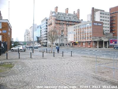 |
| Media House will be demolished so that we can remain clear of the carriageway here. | 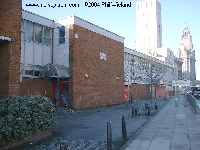 |
| We turn left into Mann Island. Trams will run on the left hand side of the road here. | 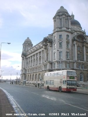 |
| At the end we turn right along Liverpool's famous waterfront. The Pier Head stop will be just to the right of the grass area in this view. | 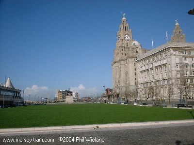 |
| We turn right again to pass between the Royal Liver Building and the Cunard Building. | 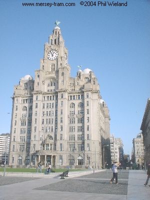 |
| Here's a different view of the waterfront route. | 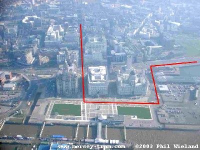 |
| After crossing The Strand we head up Water Street. The Water Street stop will be outside the imposing India Buildings here, with the trams running on the right hand side of the roadway. | 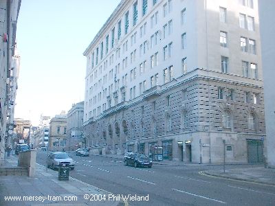 |
| A slight kink to the right is necessary to pass the Town Hall. | 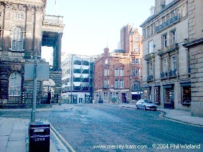 |
| And then along Dale Street, running on the left side of the roadway. The Moorfields stop will be at the junction with Stanley Street. | 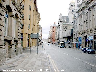 |
| At the other end of Dale Street we switch to the right hand side of the carriageway at about the point where the Churchill Way Flyover (to be demolished) starts. A little further on we turn right. | 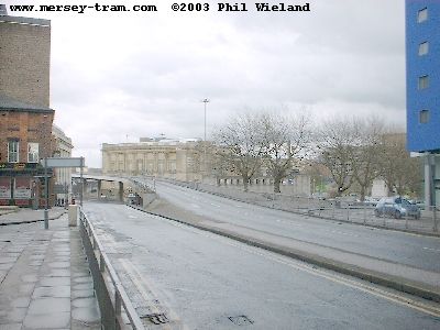 |
| We reach another triangular junction. A right turn would soon bring us to the junction at the bottom of St John's Lane, but we turn left into the cobbled William Brown Street which takes us past the Liverpool Museum and the Central Library (with a stop outside). | 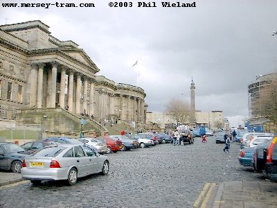 |
| At the top we find ourselves back where we started, at a triangular junction at the foot of London Road. Line 1 carries on straight ahead. | 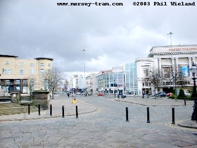 |
Notes
1. I have described the City Centre loop in a clockwise direction, but this is not intended to imply that the service will only run one way round the loop. All the plans I have seen show all parts of the route as double track.
2. In a bid to save time and money, construction of half the City Centre Loop has been deferred until Line 2 is built. The initial phase of construction will therefore only include the line along Whitechapel and Paradise Street. | |
|
mersey-tram.com
The Unofficial Merseytram Site |
| Home Page |
|
NEWS
Latest
Archive Editorials |
|
DEVELOPMENT
Schedule Bid process Works |
|
THE ROUTES
Summary Details & pictures |
|
THE TRAMS
Description |
|
SUGGESTED
Links Books |
| ©2019 Phil Wieland
Host: arnos |